

Aerial Photography

What is Aerial Photogrammetry Surveying?
Aerial photogrammetry is a method used to capture detailed images of the Earth's surface from the air. This technique involves using drones or aircraft equipped with high-resolution cameras to take multiple photographs of a specific area. These images are then processed using specialized software to create accurate maps and 3D models of the terrain, structures on a property, visible utilities, as well as roads and paths.

Contact Us
Many people use the phrase aerial photography while thinking about this process. Technically the terms have different meanings, but we understand what customers are looking for when they ask about overhead photography services and are capable of providing more complex solutions than an overhead satellite image. Read on to understand more about the specifics around what can be achieved with the combination of photography and the complex process of turning images into accurate 3D representations with powerful advanced software.
How It Works:
Difference from Traditional Surveying
Traditional surveying methods involve ground-based equipment like total stations and GPS units to measure distances and angles manually. This process is often slow and labor-intensive, requiring surveyors to physically move around the site and set up instruments at multiple points.
How Aerial Photogrammetry Benefits Customers?
Coverage of Larger and Difficult Terrains
One of the standout advantages of aerial photogrammetry is its ability to survey large and challenging terrains. Areas that are hard to access on foot, such as steep slopes, dense forests, or expansive properties, can be surveyed from the air without any difficulty.
Drones can easily navigate these areas, capturing detailed images that ground-based methods might miss. This capability ensures comprehensive coverage and accurate data for your project, regardless of the terrain's complexity.
Speed and Efficiency in Data Collection
Aerial photogrammetry can greatly speed up your project's data collection process. Traditional surveying methods can take days or even weeks, depending on the size and complexity of the area.
In contrast, aerial photogrammetry allows surveyors to capture vast amounts of data in just a few hours. The high-resolution images and advanced software streamline the creation of detailed maps and models, reducing the overall project timeline.
Now instead of so many man-hours spent with crews in the field, the software takes time to analyze and process all of the data but can be run at night and during times that are not ideal for human work This means you can start your project sooner and avoid unnecessary delays while experiencing some cost savings as well.
Reduced Labor Costs and Manpower
Using aerial photogrammetry reduces the need for extensive manpower, which can significantly lower your project costs. Traditional surveying often requires multiple surveyors to navigate the site, set up equipment, and take measurements.
Aerial photography, on the other hand, requires fewer personnel to operate the drones and manage the data processing. These savings can be passed on to you, offering high-quality services at competitive prices.
Applications of Aerial Photogrammetry in Land Surveying
Mapping and Topographic Surveys
Aerial photogrammetry is highly effective for creating detailed maps and conducting topographic surveys. By capturing high-resolution images from above, surveyors can generate accurate representations of the land's surface, including its contours and features.
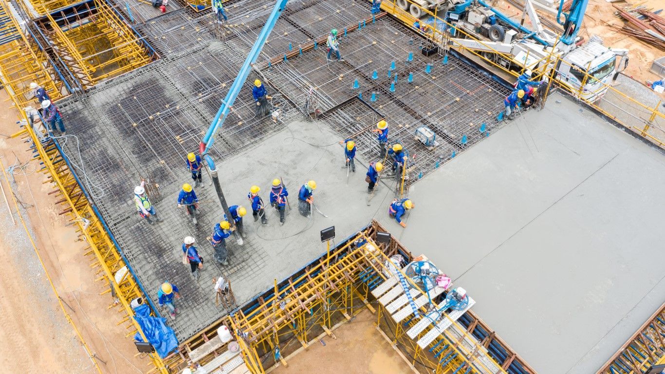
Construction and Development Planning
For construction and development projects, having precise and up-to-date land data is vital. Aerial photogrammetry provides the detailed information needed to plan and execute projects effectively. Surveyors can use the data to assess site conditions, design infrastructure, and monitor progress.
Environmental Monitoring and Management
Aerial photogrammetry is also used for environmental monitoring and management. Surveyors can capture images and data to monitor changes in the landscape, such as erosion, vegetation growth, and water levels.
Boundary and Property Line Determination
Accurately defining property boundaries is essential for land ownership and development. Aerial photogrammetry allows surveyors to quickly and precisely measure and map property lines while noting existing landmarks.
LiDAR and 3D Laser Scanning in Aerial Photogrammetry
LiDAR (Light Detection and Ranging) is a remote sensing technology that uses laser pulses to measure distances to the Earth's surface. This technology is mounted on drones and emits laser beams that bounce back upon hitting the ground. By calculating the time it takes for the laser beams to return, LiDAR creates highly accurate and detailed maps of the terrain.
How 3D Laser Scanning Enhances Surveying Accuracy
3D laser scanning, often integrated with LiDAR, enhances the accuracy of aerial photogrammetry. While traditional photogrammetry relies on visual images, 3D laser scanning uses laser beams to capture precise measurements of the landscape. This method produces a dense point cloud of data, representing the surface in three dimensions.
The combination of LiDAR and 3D laser scanning offers several benefits:
High Precision
LiDAR can capture fine details and subtle variations in the terrain that traditional methods might miss. This precision is crucial for applications requiring exact measurements, such as construction planning and boundary determination.
Versatility
LiDAR is effective in various environments, including densely vegetated areas and steep terrains. Unlike visual cameras, which can be obstructed by foliage, LiDAR can penetrate through the canopy to map the ground beneath.
Speed and Efficiency
The technology allows for rapid data collection over large areas, significantly reducing the time required for surveying projects. The detailed data obtained from 3D laser scanning minimizes the need for revisits to the site, enhancing overall efficiency.
Choosing Far & Wide Land Surveying for Your Photogrammetry Needs
At Far & Wide Land Surveying, we offer a comprehensive range of surveying services that leverage the latest in aerial photogrammetry technology. We can offer solutions to your land and building problems with advanced drones and high-resolution cameras to capture precise data from above. We provide detailed mapping, topographic surveys, boundary determination, and construction planning support.
Choosing Far & Wide means partnering with a seasoned professional dedicated to delivering high-quality results for your precise land quandaries. We prioritize accuracy and precision, using state-of-the-art equipment and software to generate detailed maps and models.
Contact us today to learn more about how our aerial photogrammetry services can benefit your next project.
